Bushfire, flood and wind considerations in Cobbitty
Camden Council maintains a bush fire prone land map, certified in 2021, and parts of the Cobbitty area are mapped because of grassland and bushland nearby. Land along the Nepean River and Cobbitty Creek falls within the Nepean River floodplain study area. Whether your lot is affected is a property level question, answered by the planning certificate and the council's mapping tools. Wind classification under AS 4055 is also set per site, and on open ground it drives the bracing and tie down fixings we check at frame.




Camden Council's Bush Fire Prone Land Map was certified in January 2021.
Bushfire prone lots need construction to the BAL set for that site.
The Nepean River floodplain study covers land from Spring Farm to Cobbitty, including Cobbitty Creek.
Your planning certificate states the flood and bushfire status of your lot.
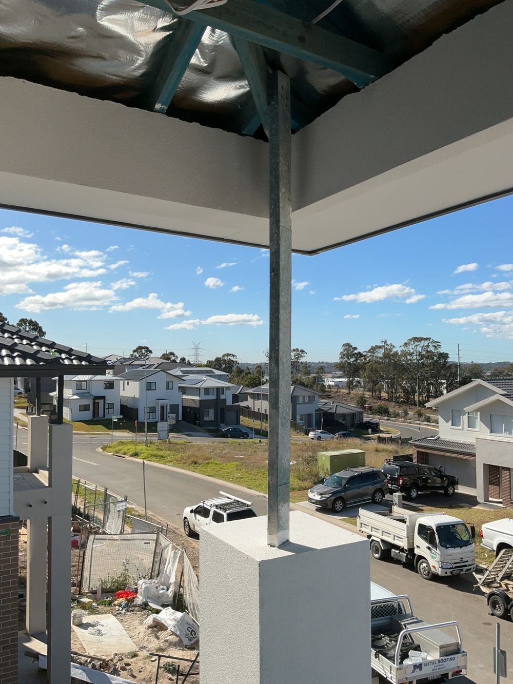
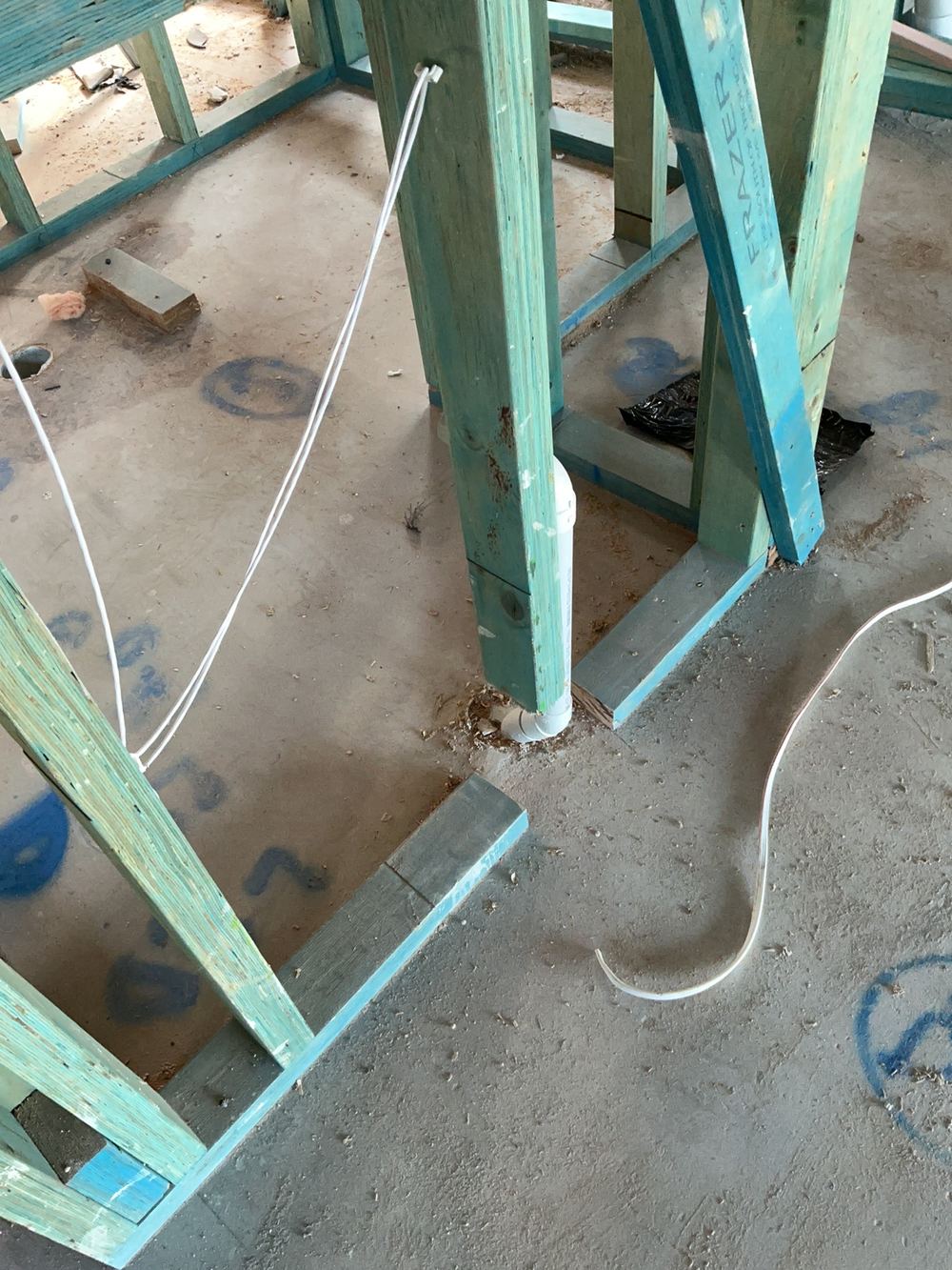
Wind class from AS 4055 sets bracing and tie down requirements for the frame.
More about Cobbitty
- Building a new home in Cobbitty NSW 2570
- Buying a house in Cobbitty NSW
- Growth and new development in Cobbitty
- Approvals, certifiers and building disputes in Cobbitty
- Soil, slope and site classification in Cobbitty
- Termite risk and protection for Cobbitty homes
- Common building defects in Cobbitty homes
Written by our local inspection team from work carried out in Cobbitty. Licensed building practitioners, NSW Fair Trading licence 366177C.